 ID
ID
 EN
EN

Engineering
Energy Readiness.
Georama Karya Indonesia is an Energy Geoservices & EPC Firm helping energy companies prepare, execute, and defend projects through engineering, geoscience, subsea, EPC support, compliance, GIS, and experienced technical manpower.
From survey mapping and geotechnical investigation to seismic support, subsea services, EPC support, mining compliance, and project manpower, Georama turns field complexity into energy project execution readiness.
Energy geoservices across land, coast & subsea — from permit to field execution
Certifications displayed pending document verification.
Energy projects do not fail only in the field. They fail in the gaps between data, engineering, permits, and execution.
In Indonesia, energy companies often deal with fragmented vendors: one for survey, one for geotechnical work, one for subsea inspection, one for GIS, one for compliance documents, one for EPC or construction support, and another for manpower. Each vendor solves a fragment. Few are accountable for project readiness.
Georama was built to close that gap — integrating technical field services, EPC and construction support, compliance preparation, and experienced manpower into one energy-focused workflow.
One partner across the energy value chain.
Georama supports energy projects from the earliest field reading to execution-ready delivery. We concentrate where risk is highest — the upstream preparation that determines whether the rest of the project stands up.
One integrated platform.
Eight service pillars.
Geoscience & Survey Mapping
Field data for energy decisions.
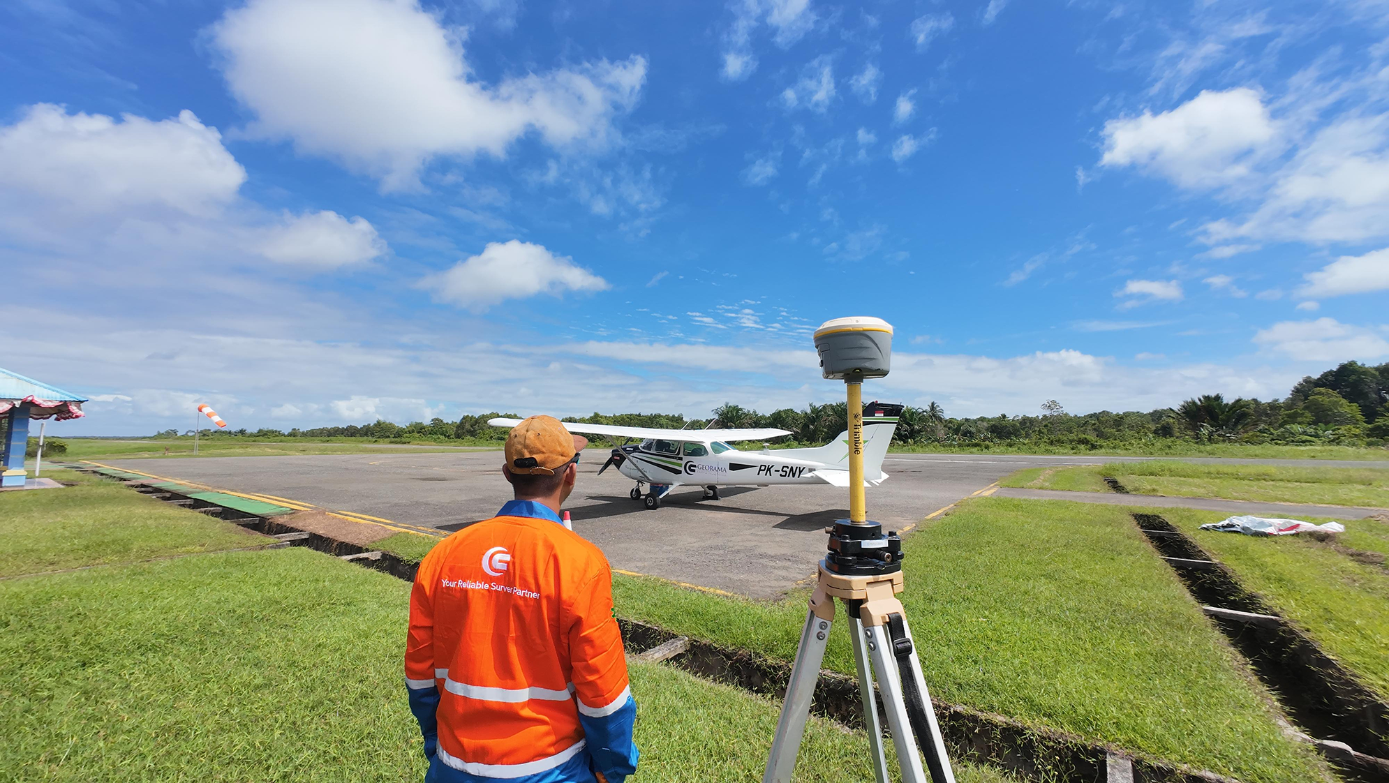
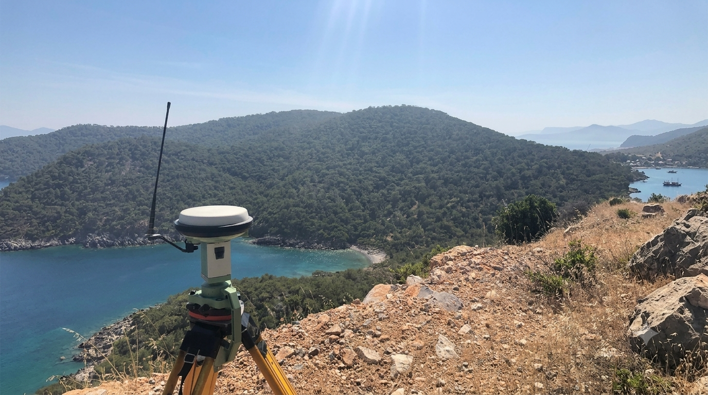
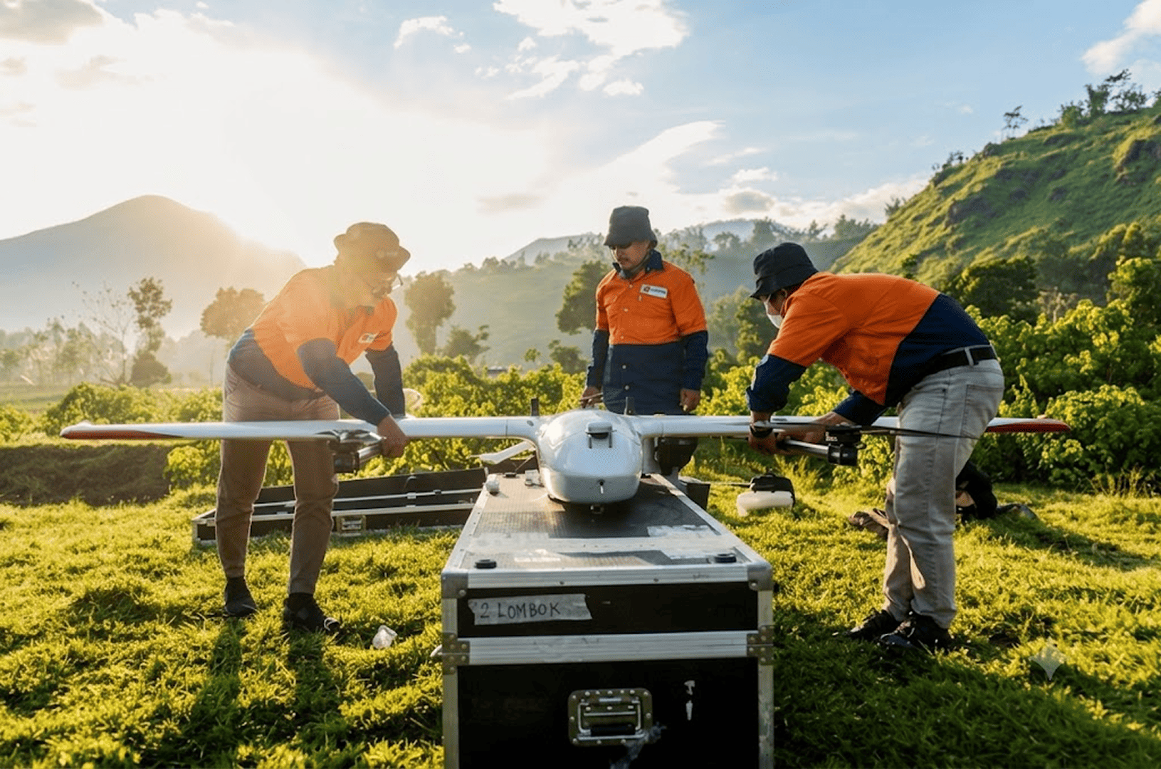
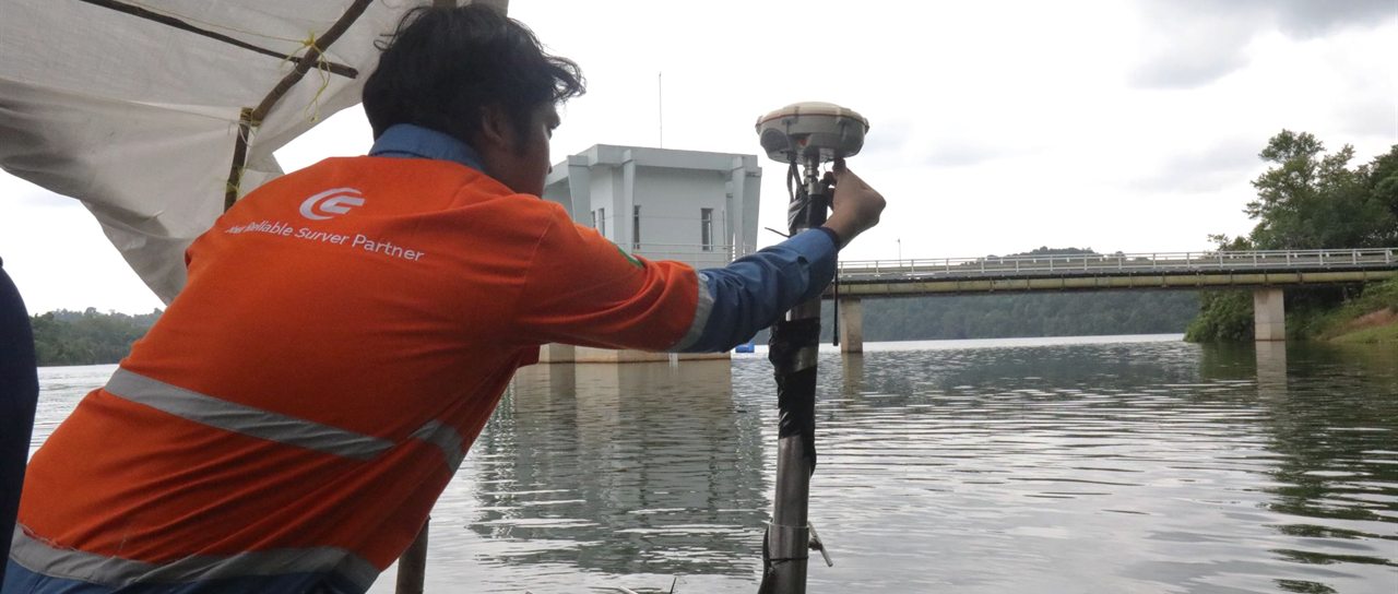
We capture land, aerial, and subsurface data to help clients understand terrain, volume, boundaries, routes, and development risks before capital moves.
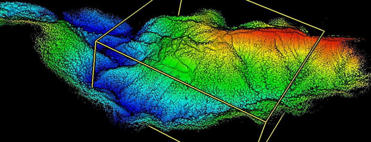
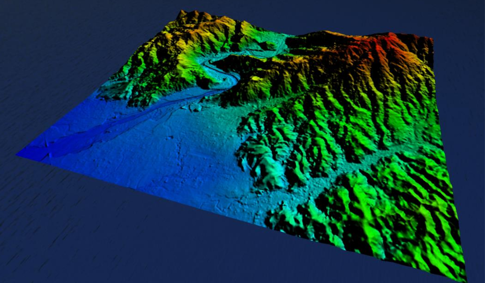
Services — Topographic survey, LiDAR, drone mapping, GNSS, photogrammetry, ROW data acquisition, as-built & volumetric survey.
Geotechnical & Ground Engineering
Understand the ground before it carries the asset.
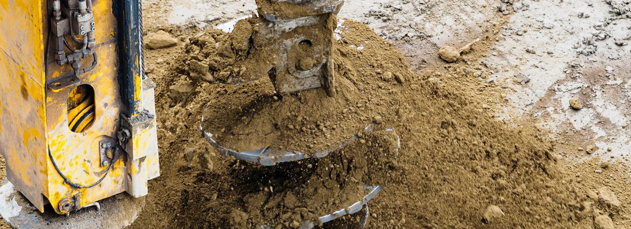
We investigate soil, rock, hydrogeology, slope stability, and ground conditions to support mining, energy infrastructure, geothermal, and construction decisions.
Services — Ground investigation, geotechnical assessment, hydrogeology, mine planning support, slope stability, drilling support, laboratory coordination.
Subsea & Marine Services
Make the seabed visible, measurable, and manageable.
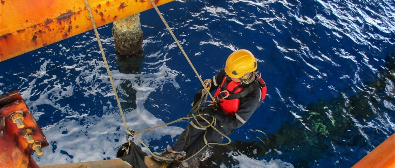
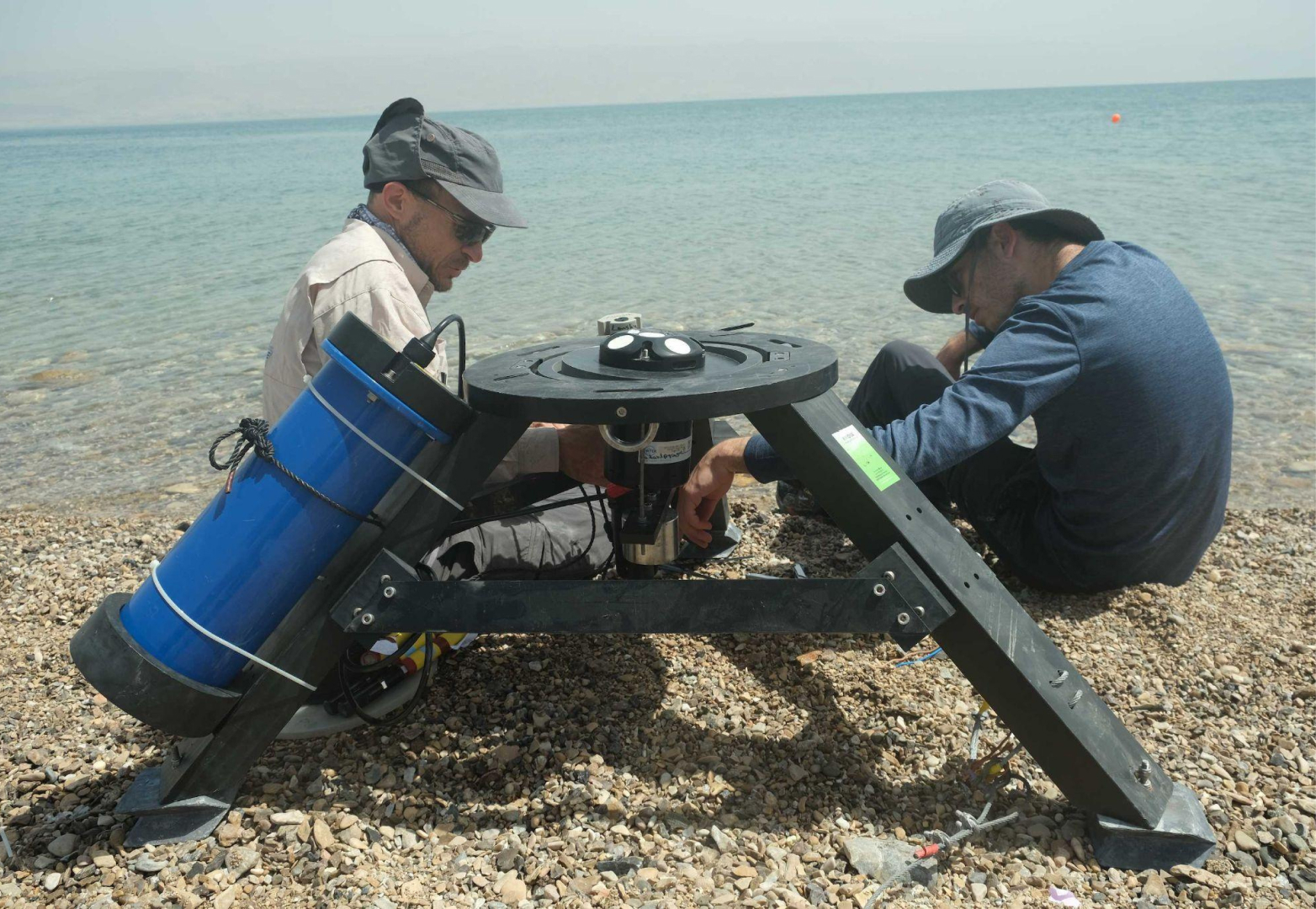
We support offshore and nearshore projects with hydrographic, geophysical, metocean, marine geotechnic, IRM, and ROV-based inspection services.
Services — Hydrographic & bathymetric survey, cable & pipeline route survey, ROV support, subsea inspection, metocean measurement.
Seismic & Exploration Support
Technical field support for exploration programs.
We support exploration programs with field preparation, geophysical data acquisition support, survey control, permitting support, route mapping, and technical manpower.
Services — Seismic line preparation, exploration survey support, positioning, access route planning, field crew support.
GIS & Data Management
Turn field data into operational intelligence.
We turn field data into structured spatial intelligence that supports planning, engineering, compliance, monitoring, and reporting.
Services — GIS database management, spatial dashboards, digital map layers, asset mapping, offshore database, compliance data room.
Energy Compliance Services
Prepare the documents that keep energy projects moving.
We help companies prepare compliance documents and technical requirements for energy projects across mining, oil & gas, geothermal, and infrastructure.
Services — CSMS, SKUP & IUJP support, RKAB technical documentation, AMDAL coordination, HSE documentation, vendor registration.
Technical Manpower Supply
Experienced people for technical field execution.
We provide experienced technical manpower for field execution, survey operations, engineering support, compliance preparation, and project documentation.
Services — Surveyor, GIS specialist, geologist, geotechnical engineer, HSE/compliance staff, ROV support, document controller.
EPC & Construction Support
We help energy clients bridge engineering plans into controlled execution through EPC scoping, procurement coordination, construction support, site supervision, QA/QC documentation, and handover readiness.
Services — Engineering coordination, procurement support, vendor coordination, site supervision, construction management support, QA/QC documentation, progress reporting, commissioning readiness, handover documentation.
Three energy sectors. One technical partner.
Select a sector to see the specific services Georama delivers across it — from upstream preparation to field execution.
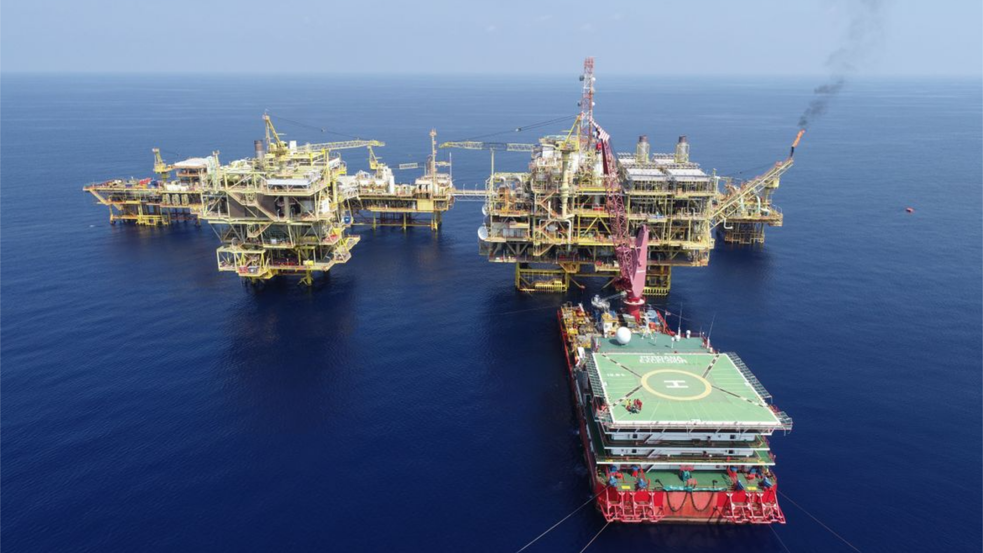
Survey & Mapping
Topographic, ROW, ORF site, and as-built survey.
Geotechnical
Onshore & nearshore ground investigation.
Subsea & Marine
Hydrographic, pipeline/cable route survey, ROV.
Seismic Support
Line preparation, positioning, field crew support.
GIS & Data
Asset mapping, spatial database, dashboards.
Compliance & Manpower
CSMS, SKUP Migas, experienced technical personnel.
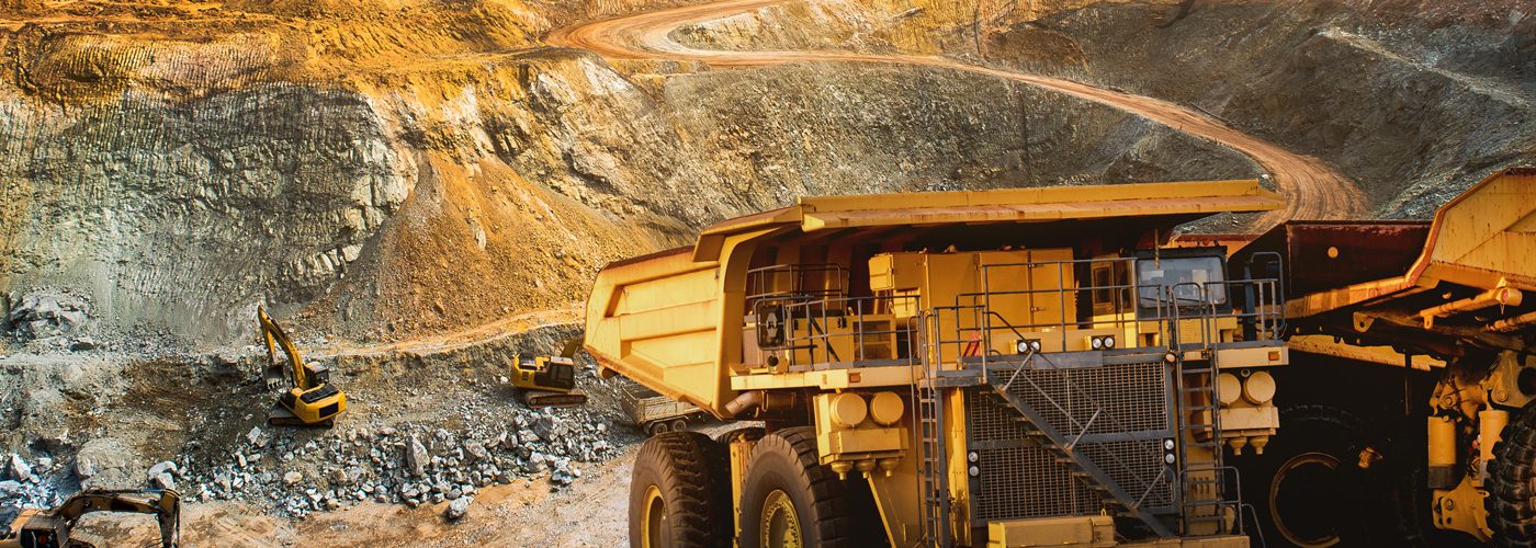
Exploration Survey
Topographic, LiDAR, drone mapping, volumetrics.
Geotechnical & Hydrogeology
Slope stability, ground and groundwater data.
Mine Planning Support
Cut-and-fill, volumetrics, progress monitoring.
GIS & Data
Concession mapping, spatial layers, reporting.
RKAB Documentation
Annual work-plan & budget technical packs.
Compliance & Manpower
IUJP, AMDAL, experienced technical personnel.
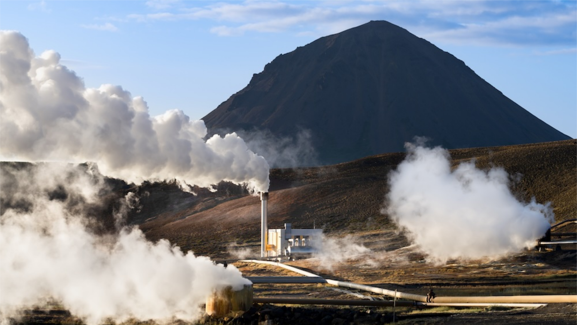
Topographic Survey
Drilling-location and wellpad survey.
Access & Road Mapping
Route survey for remote highland sites.
Geotechnical
Ground investigation for pads & infrastructure.
Environmental Baseline
AMDAL and environmental field data.
GIS & Data
Terrain models, spatial layers, mapping.
Compliance & Manpower
PKKPR, IPP, experienced technical personnel.
From scope and compliance to decision-grade field execution.
Define the decision
We clarify the business, engineering, regulatory, or operational decision the data must support.
Design the method
We select fit-for-purpose methods based on terrain, asset, risk, timeline, and required output.
Acquire field data
We mobilize teams, equipment, and HSE controls across land, aerial, water, or subsea environments.
Process & validate
We convert field data into maps, models, reports, GIS layers, point clouds, and drawings.
Deliver defensible outputs
We provide decision-grade deliverables usable by management, engineers, regulators, auditors, and owners.
Fit-for-purpose technology for Indonesia's field conditions.
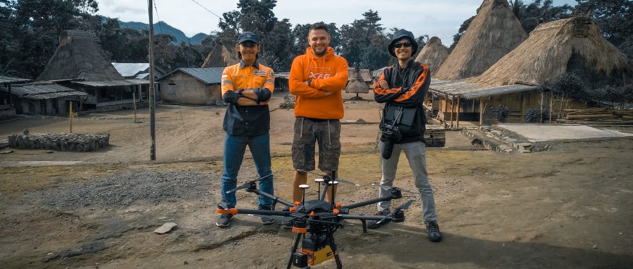
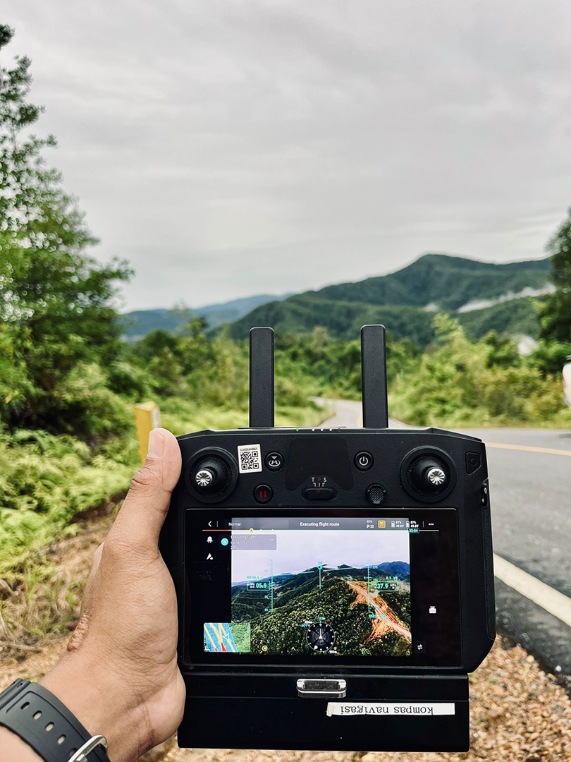
Technology matters only when it fits the field. Georama combines survey equipment, geospatial software, marine systems, and field teams to produce outputs that are accurate, usable, and review-ready.
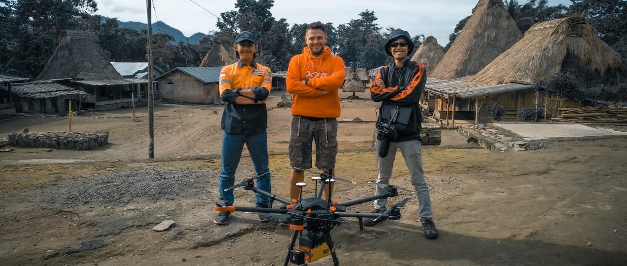
Proof, not promises.
We work with multinational and national companies to deliver the best for our clients.
Prepare your energy project
with one technical partner.
Whether you need survey mapping, geotechnical investigation, subsea support, compliance preparation, GIS, seismic support, or field manpower, Georama helps you move from uncertainty to execution readiness.
Office 8 Level 18A, Jl. Senopati No. 8B (dan Kav. 52–53 Jl. Jend. Sudirman), Senayan, Kebayoran Baru, Jakarta Selatan 12190.
Brief received.
Thank you. A Georama technical specialist will review your project brief and respond to define scope, method, and deliverables.